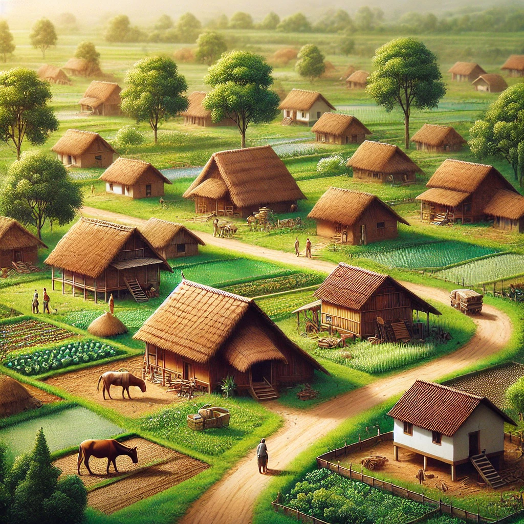
The Northern Plain Of India is one of the most fertile and densely populated regions in the country. Stretching across several states, this vast plain is formed by the alluvial deposits brought down by three major rivers – the Indus, Ganges, and Brahmaputra – and their tributaries. This plain is a significant geographical feature, contributing to India’s agricultural and cultural richness. The region’s flat and fertile land has been the cradle of many ancient civilizations and continues to support a large portion of India’s population.
- The Northern Plain Of India is divided into three main sections: the Punjab Plains, the Ganga Plains, and the Brahmaputra Plains.
- This region is home to some of India’s most populous cities, including Delhi, Kolkata, and Lucknow.
- The plain is known for its fertile soil, ideal for growing crops like wheat, rice, and sugarcane.
Geography and Formation of the Northern Plain
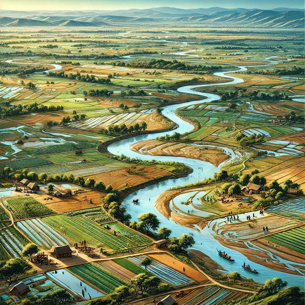
The Northern Plain Of India is an extensive flatland that stretches from the western part of the country in Punjab to the eastern borders of Assam. It covers an area of approximately 7 lakh square kilometers and is one of the largest alluvial plains in the world. This region’s formation is primarily due to the deposition of alluvium – fine particles of silt, clay, and sand – brought down by the Himalayan rivers over millions of years. The rivers that have contributed to the formation of the Northern Plain include the Indus, Ganges, and Brahmaputra, along with their numerous tributaries.
Formation Process
The formation of the Northern Plain Of India is a result of complex geological processes involving the Himalayas and the river systems that originate from them. The Himalayas, which were formed due to the collision of the Indian Plate with the Eurasian Plate, continue to rise, and as they do, they are constantly eroded by the rivers flowing from them.
- Tectonic Uplift of the Himalayas: The uplift of the Himalayas plays a crucial role in the formation of the Northern Plain. As the mountains rise, the rivers carve their way through the ranges, carrying with them large amounts of eroded material.
- Sediment Deposition: The rivers, upon reaching the flatter regions of the plains, spread out and slow down, causing them to deposit the sediments they carry. Over millions of years, these deposits have accumulated, creating the extensive alluvial plains we see today.
- Formation: The Northern Plain Of India is divided into several river basins. It includes the Indus Basin in the west, the Ganga Basin in the central part, and the Brahmaputra Basin in the east. Each basin has been formed by the respective rivers and their tributaries, contributing to the overall geography of the plain.
Characteristics of the Alluvial Soil
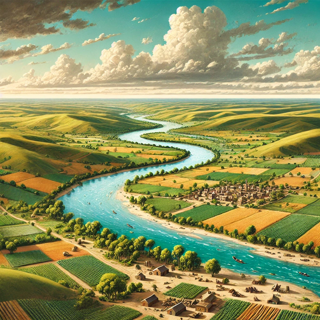
The alluvial soil found in the Northern Plain Of India is one of the most fertile soils in the world. It is rich in nutrients like potash, phosphoric acid, and lime, which are essential for the growth of crops. The soil is also porous and well-drained, allowing for easy cultivation of a variety of crops.
- Fertility: The high fertility of the alluvial soil makes it ideal for growing staple crops such as wheat, rice, and sugarcane. The Northern Plain is often referred to as the “breadbasket” of India.
- Soil Layers: The alluvial soil in the Northern Plain is stratified, meaning it has layers of different compositions. The topsoil is the most fertile, while the lower layers may contain more coarse materials like sand and gravel.
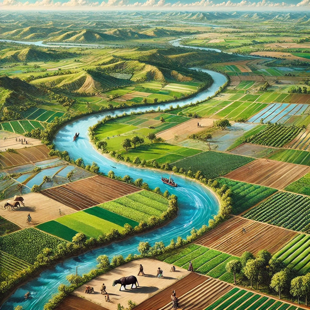
- New and Old Alluvium: The alluvial deposits in the Northern Plain Of India can be classified into two types – the Khadar and the Bhangar. The Khadar is the newer alluvium, deposited annually by the rivers, and is more fertile. The Bhangar is the older alluvium, found at higher levels and less fertile due to its coarse texture and reduced nutrient content.
Division of the Northern Plain
The Northern Plain Of India can be divided into three distinct sections based on the rivers that dominate each area:
- Punjab Plains: The Indus River primarily waters the westernmost part of the Punjab Plains. And also by its five tributaries – Jhelum, Chenab, Ravi, Beas, and Sutlej. This region is known for its extensive irrigation system and high agricultural output.
- Ganga Plains: The Ganga Plains, which lie in the central part of the Northern Plain, is the most extensive. The Ganges River and its tributaries, such as the Yamuna, Ghaghara, Gandak, and Kosi, dominate the area.
- Brahmaputra Plains: The Brahmaputra River and its tributaries shape the easternmost part of the Brahmaputra Plains. This region is prone to flooding due to the heavy monsoon rains. It is also extremely fertile, supporting the cultivation of crops like rice and tea.
Significance of the Northern Plain Of India
The Significance of Northern Plain Of India extends beyond agriculture. This region is also a hub of economic activities, cultural heritage, and political influence. The plain’s fertile land supports a large population, contributing to the country’s food security and economy.
Economic Importance
People often refer to the Northern Plain of India as the “Granary of India” due to its vast agricultural output. The region’s agricultural productivity is crucial for both domestic consumption and export. The plain’s flat terrain and extensive river systems have facilitated the development of infrastructure, making it a key area.
Cultural Heritage
The Northern Plain Of India has been the birthplace of several ancient civilizations, including the Indus Valley Civilization. The region is home to many historical sites, temples, and monuments, reflecting its rich cultural heritage. Cities like Varanasi, Allahabad, and Patna hold significant religious and cultural importance.
Political Influence
The Northern Plain Of India has historically been a center of political power. It has seen the rise and fall of many dynasties, including the Mauryas, Guptas, and Mughals. It continues to be politically influential, with many key cities like Delhi, the capital of India, located in this region.
Challenges Facing the Northern Plain
Despite its many advantages, the Northern Plain Of India faces several challenges. These include:
- Flooding: Frequent flooding, especially in the Brahmaputra and Ganga plains, damages crops, and infrastructure, and displaces people.
- Soil Erosion: Continuous soil erosion reduces agricultural productivity and leads to land degradation, impacting the region’s fertility.
- Urbanization: Rapid urbanization results in the loss of fertile agricultural land, increased pollution, and strains on infrastructure.
- Water Scarcity: Over-extraction of water and pollution of rivers lead to water scarcity, threatening agriculture and drinking water supplies.
- Pollution: Industrial and agricultural activities contribute to significant air and water pollution, affecting health and the environment.
- Population Pressure: High population density puts immense pressure on land, resources, and infrastructure, leading to unsustainable practices.
- Groundwater Depletion: Excessive extraction of groundwater for irrigation is leading to a decline in water tables, posing future risks.
- Climate Change: Changing weather patterns, including irregular monsoon rains, exacerbate flooding, droughts, and overall agricultural instability.
Conclusion
The Northern Plain Of India is a vital region for the country, both economically and culturally. Its fertile soil, extensive river systems, and rich cultural heritage make it one of India’s most significant regions. \The Significance of the Northern Plain Of India lies not only in its agricultural output but also in its contribution to the nation’s history, culture, and political landscape. As India continues to develop, the importance of the Northern Plain Of India will remain central to the country’s growth and prosperity.
| Northern Plain Of India UPSC Notes |
| 1. The Northern Plain of India is formed by the alluvial deposits of the Indus, Ganges, and Brahmaputra rivers. 2. This plain is one of the most fertile regions in the world, supporting extensive agriculture. 3. The region is densely populated due to its fertile soil and abundant water resources. 4. The Northern Plain stretches across several states, including Punjab, Haryana, Uttar Pradesh, Bihar, and West Bengal. 5. It plays a crucial role in India’s agriculture, producing a significant portion of the country’s wheat and rice. 6. The plain is divided into three major sections: the Punjab Plains, the Ganga Plains, and the Brahmaputra Plains. 7. The Northern Plain also supports a rich cultural heritage with ancient cities and historical sites. 8. The region’s extensive river systems provide vital water for irrigation, drinking, and industrial purposes. |