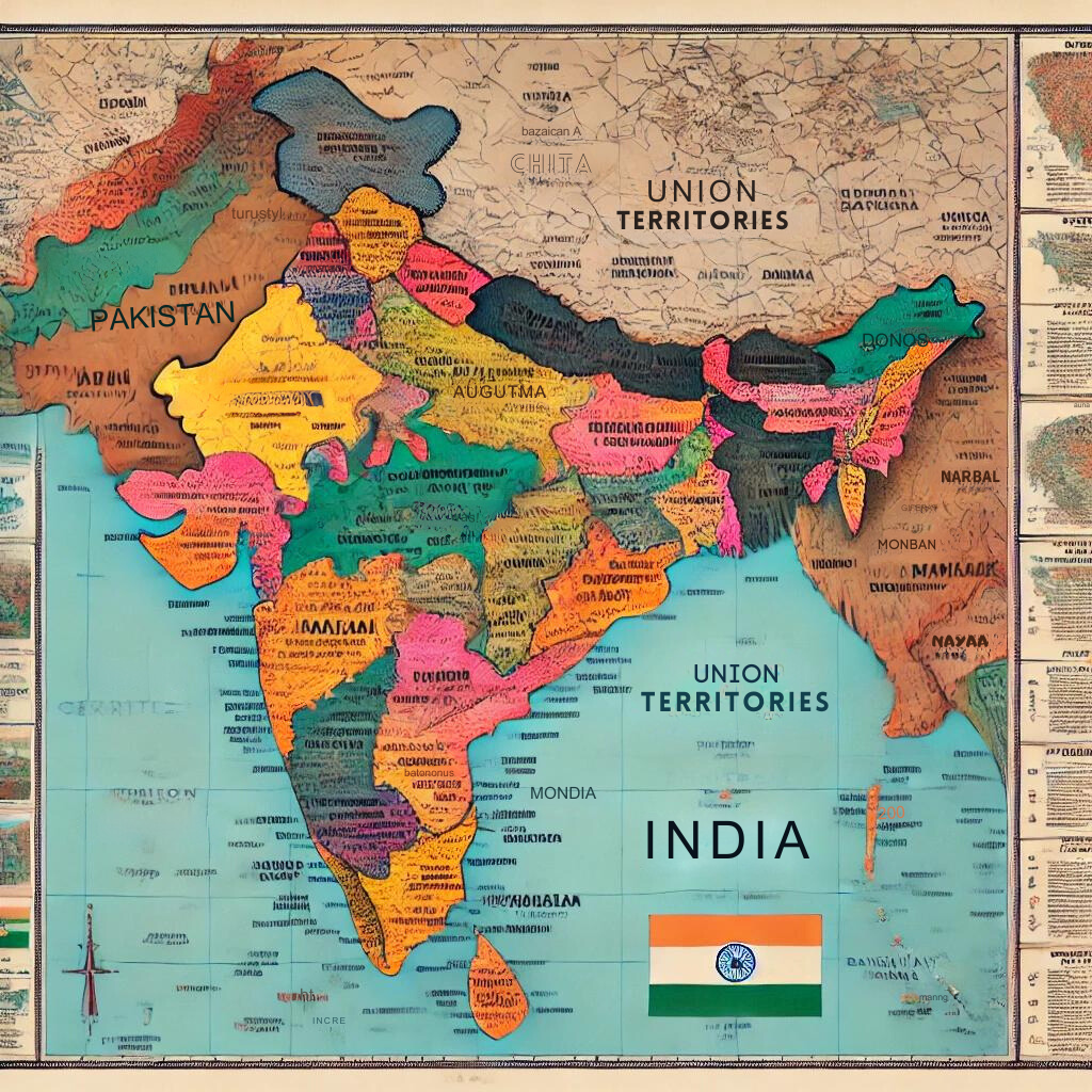
India political map is essential for understanding the country’s administrative and political divisions. It outlines the boundaries of states, union territories, and their capitals, providing a visual representation of India’s complex political landscape.
India, the seventh-largest country in the world by land area, is a federal union comprising 28 states and 8 union territories. The political map of India is divided based on historical, cultural, linguistic, and administrative considerations.
Historical Evolution of India Political Map
India’s political map has undergone a great historical evolution. It is a reflection of the country’s rich and complex history, shaped by various empires, colonial rule, and post-independence reorganization.
Pre-Independence Era
- Ancient and Medieval Periods: The concept of a unified India Political Map was non-existent as the region was divided into various kingdoms and empires, such as the Maurya, Gupta, and Mughal Empires.
- Colonial Period: The advent of British rule brought significant changes as princely states and provinces were demarcated more clearly. The political boundaries of India’s Political Map were often redrawn to suit administrative convenience and colonial interests.
Post-Independence Changes
- 1947 – Partition of India: The independence of India in 1947 led to the partition, creating two separate nations, India and Pakistan. This event drastically altered the political map of the region.
- Integration of Princely States: Post-independence, the political integration of over 560 princely states, under the leadership of Sardar Vallabhbhai Patel, the then Home Minister, was a monumental task that shaped the current political boundaries of India.
- Formation of States on Linguistic Lines: The States Reorganisation Act of 1956 redefined the boundaries of India’s states based on linguistic lines, which played a crucial role in giving India its present form.
India Political Map: Recent Change and Implication
India political map, witnessed several important changes in recent years, reflecting shifts in administrative boundaries and state relations. These alterations have significant implications for domestic policy, governance, and regional relations. Here, we explore these changes and analyze their broader impact.
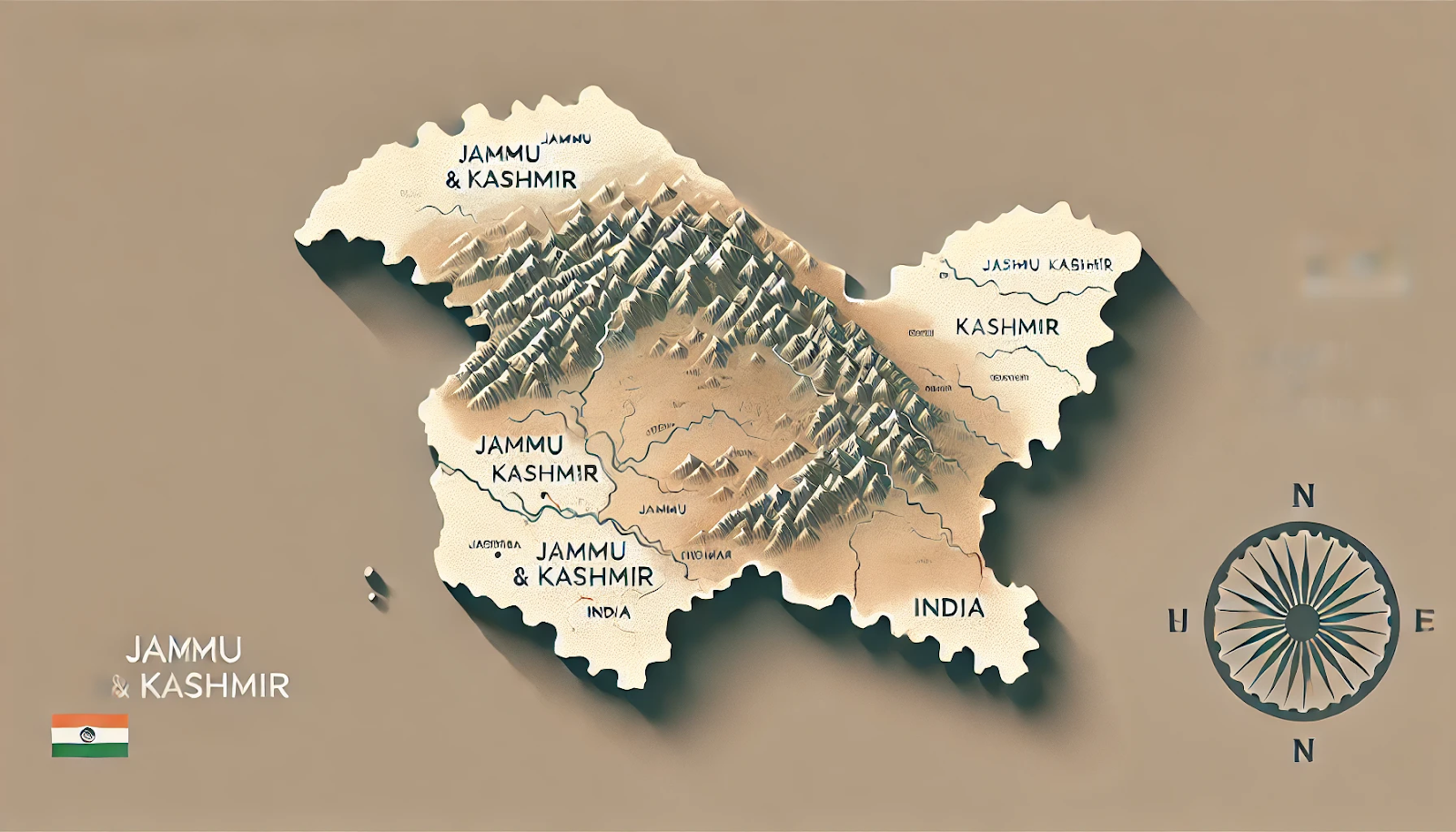
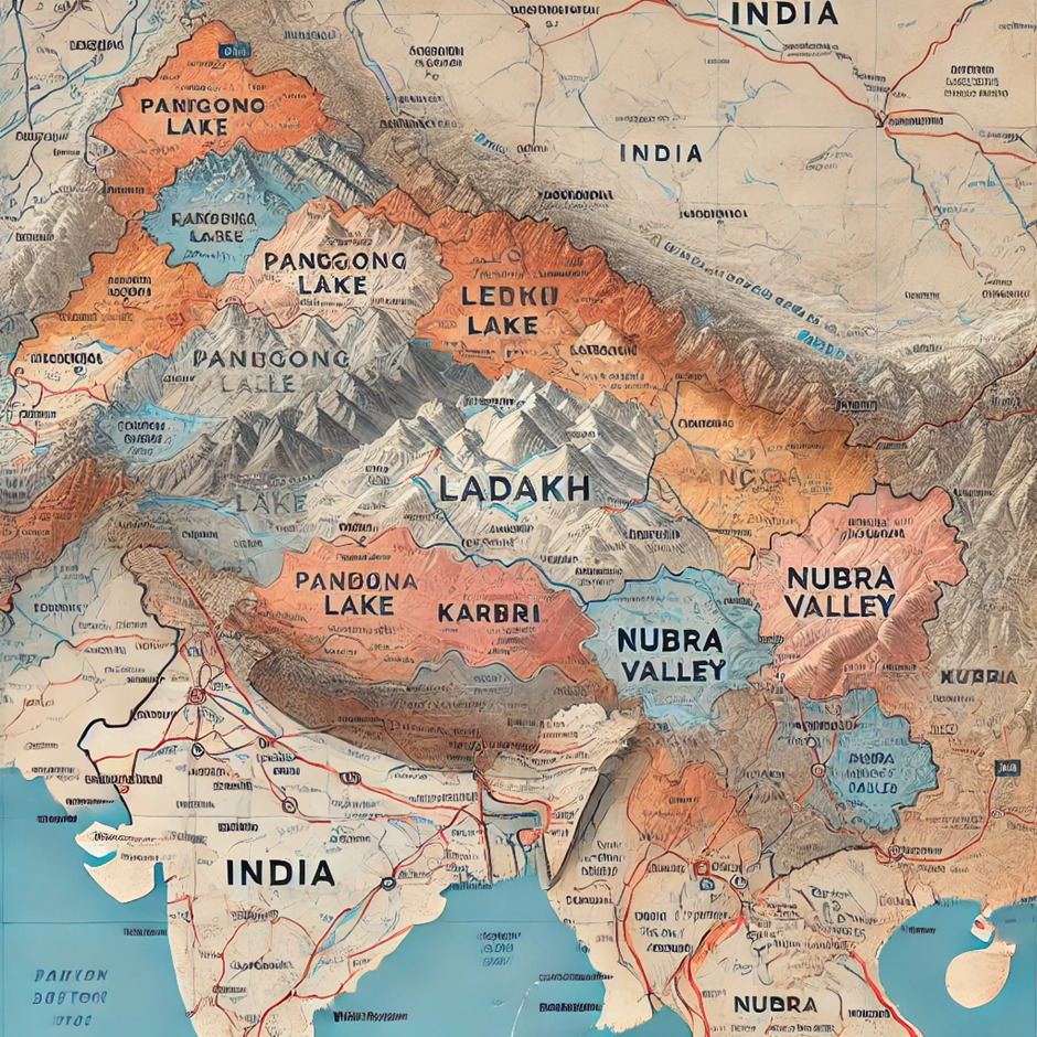
Reorganization of Jammu and Kashmir
Key Changes in the Political Map of India
- On August 5, 2019, the Government of India announced the abrogation of Article 370. Article 370, granted special autonomy to Jammu and Kashmir.
- Simultaneously, the state was bifurcated into two Union Territories: Jammu and Kashmir (with a legislature), and Ladakh (without a legislature).
Implications
- Administrative Efficiency: The bifurcation aims to enhance administrative efficiency and central oversight, especially concerning security and development projects.
- Geopolitical Dynamics: This change in India’s Political Map has significant geopolitical implications, particularly border management. It can also impact relations with neighboring countries like Pakistan and China.
- Local Governance and Development: Direct central governance in Ladakh will focus on region-specific issues like border infrastructure.
- Security and Legal Framework: The reorganization has applied previously unenforceable national laws, potentially altering the legal and security landscapes.
Creation of New Districts and Changes in Northeast India
Key Changes in India’s Political Map
- States like Assam, Manipur, and Nagaland have seen the creation of new districts in recent years. The creation was done to improve administrative effectiveness and local governance.
- There are ongoing discussions and demands for separate statehood or greater autonomy within states like Assam and Manipur.
Implications
- Enhanced Local Administration: Creating new districts can lead to more tailored governance, addressing specific local needs and issues more effectively.
- Ethnic and Cultural Considerations: In diverse ethnic regions, such changes aid in managing and preserving cultural identities better.
- Political and Social Stability: The restructuring can lead to initial unrest or dissatisfaction among local communities. However it may stabilize over time as new administrative systems deliver benefits.
Proposal for the Union Territory Status for Ladakh
Key Changes in India’s political map
- Post-2019, there has been a growing demand among locals in Ladakh for granting it a Union Territory status with a legislative assembly to have a greater say in local governance.
Implications
- Governance and Autonomy: A legislative assembly would provide the people of Ladakh with more autonomy to legislate on certain local matters.
- Socio-economic Development: Enhanced local governance could lead to more focused development initiatives, addressing the unique geographical and socio-economic challenges of Ladakh.
Understanding the India Political Map Outline
Understanding the political map of India involves recognizing various key features that define the country’s administrative and political landscape.
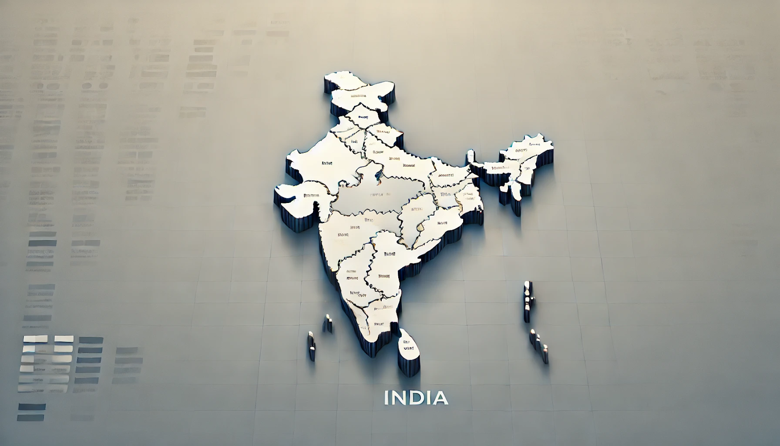
State and Union Territory Demarcations
States on India Political Map
The state governments govern India’s 28 states. The administration further divides these states into districts, which serve as the basic units of administration. Each state has significant autonomy in matters not reserved for the central government, including health, education, and local governance.
Union Territories
As of now, India’s political map outlines 8 union territories. Union territories are directly administered by the Central Government. However, Delhi, Puducherry, and recently Jammu & Kashmir have their legislatures and governments with limited powers.
Capitals and Major Cities
Each state and union territory has a capital where the government’s administrative functions are primarily located. Major cities such as Mumbai, Kolkata, and Chennai play crucial roles in the economic and cultural landscapes of the country.
Geographic and Cultural Boundaries
The India political map boundaries often align with natural features like rivers and mountains. However, cultural boundaries such as linguistic or ethnic divisions also influence the demarcation of states and districts within India.
International Borders
India Political map shares its borders with seven countries:
- North: China (including the regions of Aksai Chin and Arunachal Pradesh, which are subject to territorial disputes)
- Northwest: Pakistan
- Northeast: Nepal, Bhutan
- East: Bangladesh, Myanmar
These borders are significant not just for security and defense policies but also impact trade, migration, and diplomatic relations.
Coastlines and Islands
India’s Political map has a vast coastline stretching over 7,500 kilometers along the Arabian Sea, Bay of Bengal, and Indian Ocean. This geographic feature is crucial for trade, fisheries, and maritime security. Island groups like Andaman and Nicobar Islands and Lakshadweep are strategically important. They are important because of their location and biodiversity.
Special Administrative Zones
The government designates some regions on the India political map as special administrative zones due to historical, geographical, or cultural reasons. For instance:
- Article 371: Provides special provisions for northeastern states and regions within other states to preserve their tribal culture.
- Scheduled Areas: Scheduled Areas: It allows for greater autonomy in governance by the tribal population.
Strategic Military Locations
Certain areas on the India political map are, therefore, designated as strategic military locations due to their proximity to international borders. Examples include regions in Ladakh, Arunachal Pradesh, and Rajasthan.
Relevance for UPSC Aspirants
The India Political map holds immense relevance for UPSC aspirants, as it is a fundamental tool for understanding the country’s administrative and political geography. It provides critical insights into the boundaries and locations of states, union territories, and their capitals, which are essential for questions in the Prelims and Mains exams. Familiarity with the political map helps aspirants comprehend the spatial context of current events, policy implementation, and regional issues, enhancing their ability to analyze and answer questions effectively.
| India Political Map Notes |
| 1. India is divided into 28 states and 8 Union Territories, each with its own government and administrative structure. 2. The political map of India includes major cities, state capitals, and significant geographical features like rivers, mountains, and coastlines. 3. The northern boundary of India includes the states of Jammu & Kashmir, Himachal Pradesh, and Uttarakhand, which share borders with China, Nepal, and Pakistan. 4. The northeastern region consists of seven sister states including Assam, Arunachal Pradesh, Nagaland, Manipur, Mizoram, Tripura, and Meghalaya, which have unique cultural and ethnic diversity. 5. The central part of India includes states like Madhya Pradesh and Chhattisgarh, which are rich in natural resources and have significant tribal populations. 6. The western part of India includes states such as Gujarat, Rajasthan, and Maharashtra, which have important economic hubs like Mumbai and Ahmedabad. 7. The southern region includes states like Tamil Nadu, Kerala, Karnataka, Andhra Pradesh, and Telangana, known for their diverse cultures, languages, and economic contributions, especially in the technology and education sectors. 8. Union Territories like Delhi, Chandigarh, and Puducherry have special administrative status and governance structures, often directly administered by the central government. |