Geomorphology, the study of Earth’s surface features and the processes that shape them, is a crucial field within geography and geology. Among its core concepts are plate tectonics and continental drift, which provide fundamental insights into the dynamic nature of our planet.

The Dynamic Earth: Understanding Plate Tectonics and Continental Drift
Plate Tectonics: An Overview
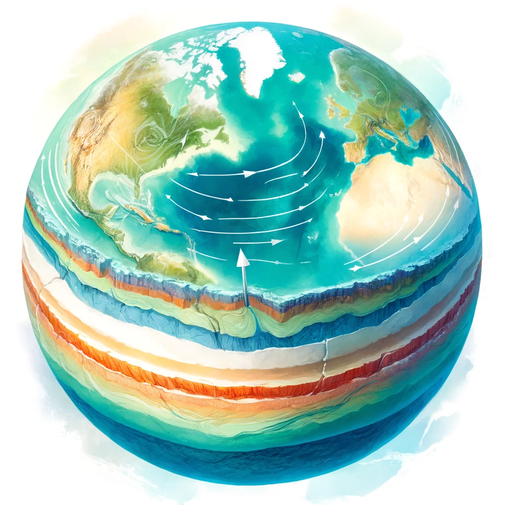
The theory of plate tectonics revolutionized our understanding of Earth’s surface dynamics. Proposed in the mid-20th century, it explains that Earth’s lithosphere is divided into several large and small plates that float on the semi-fluid asthenosphere beneath them. These plates constantly move due to convection currents in the mantle, leading to various geological phenomena.
Key Components of Plate Tectonics:
- Lithospheric Plates: The Earth’s crust and the upper part of the mantle form rigid plates. These include major plates like the Pacific, North American, Eurasian, and African plates, as well as smaller ones like the Nazca and Philippine plates.
- Plate Boundaries: There are three main types of boundaries between these plates:
- Divergent Boundaries: Where plates move apart, new crust is formed by magma rising from the mantle, as seen at mid-ocean ridges.
- Convergent Boundaries: Where plates move towards each other, leading to subduction (one plate being forced under another) or continental collision, forming mountain ranges.
- Transform Boundaries: Where plates slide past each other horizontally, causing earthquakes along faults like the San Andreas Fault in California.
Continental Drift: Evidence and Implications
The concept of continental drift, a precursor to plate tectonics, was proposed by Alfred Wegener in 1912. He suggested that continents were once part of a single supercontinent called Pangaea, which later split and drifted apart.
Evidence Supporting Continental Drift:
- Fossil Records: Identical fossils of plants and animals found on widely separated continents, such as the Mesosaurus found in both South America and Africa, suggest these lands were once connected.
- Geological Formations: Similar rock formations and mountain ranges on different continents, such as the Appalachian Mountains in North America and the Caledonian Mountains in Europe, indicate they were once part of the same landmass.
- Paleoclimatic Evidence: Glacial deposits and striations found in now tropical regions point to a different historical positioning of continents, supporting the idea of a unified landmass in the past.
Impact of Plate Movements:
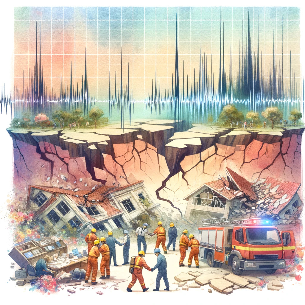
Earthquakes:
- Seismic Activity: Plate movements are responsible for most earthquakes. At convergent boundaries, the subduction of one plate beneath another can lead to powerful earthquakes, like those around the Pacific Ring of Fire.
- Transform Faults: Earthquakes also occur along transform boundaries, where plates slide past each other, releasing built-up stress.
Volcanoes:
- Subduction Zones: Volcanic activity is prevalent in subduction zones, where the subducting plate melts and magma rises to form volcanoes. The Pacific Ring of Fire is a prime example, with numerous active volcanoes.
- Rift Zones: At divergent boundaries, such as the Mid-Atlantic Ridge, magma rises to create new crust, forming underwater volcanoes and volcanic islands.
Mountain Building:
- Orogeny: The collision of continental plates at convergent boundaries results in mountain building, or orogeny. The Himalayas, for example, are a result of the ongoing collision between the Indian and Eurasian plates.
Oceanic Trenches and Mid-Ocean Ridges:
- Trenches: Deep oceanic trenches form at subduction zones where one plate is forced below another, such as the Mariana Trench.
- Ridges: Mid-ocean ridges, like the Mid-Atlantic Ridge, form where plates are diverging, creating new oceanic crust.
Conclusion
The theories of plate tectonics and continental drift have profoundly shaped our understanding of Earth’s dynamic nature. These processes explain the distribution of earthquakes, volcanoes, and mountain ranges and provide a framework for predicting geological activity. For UPSC aspirants, a thorough grasp of these concepts is essential, as they form a critical component of the physical geography syllabus, offering insights into the forces that continually reshape our planet.