
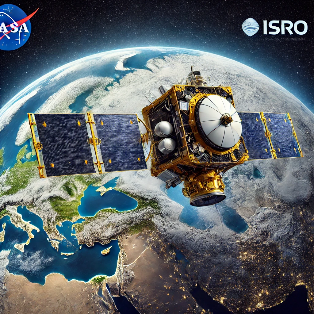
NISAR is one of the most ambitious earth observation missions, and it is meant for monitoring the natural processes in the Earth. As a joint mission between NASA and ISRO, this satellite would provide critical information about natural hazards, ecosystems, and changing environmental conditions. Advanced radar imaging from this satellite would help to understand climate change and manage natural resources significantly.This mission is peculiar, considering it uses dual-frequency radar. This will be the first to image the Earth’s surface at such a high resolution. Here are some quick points about the NISAR Mission:
- It is a NASA-ISRO collaboration to observe Earth. NISAR Full Form: NASA-ISRO Synthetic Aperture Radar.
- It will be the worlds most advanced radar imaging satellite for Earth science.
- The satellite carries L band and S-band radars to make detailed observations.
What is NISAR Mission?
NISAR aims at systematically observing changes in Earth’s land, ice, and oceans. It will provide data on impacts brought by climate change, agriculture, and natural disasters. This observation will help scientists realize natural hazards, such as earthquakes, tsunamis, and landslides.
NASA and ISRO are working together on the NISAR Mission, a symbol of increased international cooperation in space research. The satellite makes minute changes on Earth’s surface observable over time, permitting researchers to identify trends that may reveal large-scale findings.
ISRO NISAR Mission Background and Budget
ISRO NISAR Mission was conceptualized in 2014. NASA and ISRO agreed to develop a satellite with a Synthetic Aperture Radar onboard. The SAR would be able to provide high-resolution images at any time of day, regardless of weather conditions. The budget for the NISAR Mission is an estimated $1.5 billion and it will be considered one of the most expensive Earth observation projects undertaken so far. The cost is split between NASA and ISRO as each agency takes up parts of the mission.
NISAR Full Form and Constituent Components
NISAR Full Form means “NASA-ISRO Synthetic Aperture Radar.” In this name, the mission objective is to synthesize aperture images by using the radar technology. It has two main constituent components:
- L-band Radar: This is the contribution by NASA, which captures data on soil moisture, forests, and wetlands.
- S-band Radar: ISRO developed that focuses on land, coastlines, and ice sheets.
NISAR Launch Date
It is set to launch in the first quarter of 2024. NISAR will be launched by ISRO from India via its GSLV, or Geosatellite launch vehicle. After achieving orbit, NISAR will commence taking data measurements about many of Earth’s natural processes
Objectives of NISAR Mission
This will include information on agriculture practices, coastal erosion, landslides, and groundwater levels. This radar imaging technology will help in penetrating the canopies of the forests to look into the Earth’s surface regardless of the weather condition prevailing.
- Monitoring of Ecosystems: Trends for forests, crops, wetlands, etc., in support of the sustainability of land use.
- Climate Change Studies: Tracks the movements of ice sheets, changes in sea levels, carbon cycle dynamics, etc.
- Disaster Management: Captures changes in surface from earthquakes, volcanoes, and landslides for early warning systems.
Features of NISAR
The NISAR Mission integrates the most advanced radar technology that can provide high-resolution, dual-frequency imaging in any weather condition. Its capabilities are useful for various applications, that is, environmental monitoring, disaster management, and climate studies to further understand Earth’s changing processes. The NISAR Mission has several distinctive features:
Dual-Frequency Radar
The NISAR Mission uses L-band and S-band radar to clearly image Earth’s terrain. In such dual-frequency systems, the satellite can penetrate through vegetation and even monitor forest canopies, ice sheets, and soil moisture levels, retrieving data through vast territories of forests, oceans, and mountainous regions, hence an ultimately holistic probe.
High Resolution Imaging
Armed with advanced radar technology, NISAR can map small features across vast areas of the Earth’s surface in high resolution. It would repetitively monitor the same site at every 12-day revisit cycle and be able to detect minute changes in the past, which is crucial for monitoring the environment, urban planning, agriculture, and natural hazard studies like earthquakes and landslides.
All-Weather Observation
Unlike optical satellites, NISAR can function regardless of the presence of clouds and even rain. Its radar penetrates through clouds and darkness and continues to collect reliable data day or night. This becomes incredibly important for monitoring regions characterized by widespread cloud cover, like tropical rainforests, to increase our knowledge of global environmental alterations.
High Range of Applications
The NISAR Mission supports various scientific and practical applications for the study of climate change and forest management, as well as agricultural practices, in relation to monitoring natural disasters, tracking changes in polar ice sheets, assessing soil moisture, and urban planning data. The findings would culminate in better resource management, disaster preparedness, and understanding Earth’s dynamic processes.
Joint and Interdisciplinary Expertise
The NISAR Mission is a joint mission of NASA and ISRO. NASA has developed the L-band radar, and ISRO has offered the S-band radar along with the launch services. This international collaboration brings together expertise: advancement in capabilities of Earth observation, for the first time in many ways, setting up a new precedent for future collaborative space missions on Earth and other celestial bodies for solutions to pressing challenges facing the planet.
Different Phases of NISAR Mission
The NISAR Mission progresses through multiple phases, from launch to data analysis. Each phase, including calibration and data collection, is essential for ensuring the mission’s success, providing high-quality data to study Earth’s natural processes and changes. The NISAR Mission will roll out in several phases, namely:
Launch Phase
In the orbital phase, the NISAR Mission will be launched through ISRO’s GSLV rocket. Once in orbit, the satellite will be subjected to initial checks for its systems to ascertain that everything is working as set. This is the launch phase, which sets the ground for operational mission journeying and is a determinant factor in running data collection subsequently.
Calibration Phase
Following the launch, the satellite undergoes calibration activities. They calibrated the L-band and S-band radar systems. Calibration refers to the running of comprehensive tests aimed at establishing correct data capture with the quality highest, thus paving the way for long-term monitoring of the ecosystems of Earth, natural catastrophes, and climate formations.
Data Collection Phase
During this time, NISAR would image the entire Earth with its radar, systematically covering the entire Earth surface. It would track natural processes in detail, such as the coverage of forests, soil moisture, ice sheets, and movements of tectonic plates. The data obtained is intended to be spread over the entire planet at different intervals to ensure constant and holistic monitoring by the scientists.
Data Analysis Stage
Huge data flows are to be processed and analyzed by scientists worldwide in the NISAR Mission. Data interpretation, or, in other words, converting raw radar signals into valuable input shall be taken up by advanced computing systems. This is particularly important for examining environmental changes, improving response times in disaster situations, and enhancing agricultural practices. The results have direct benefits for several departments.
Expected Benefits from the NISAR Mission
the NISAR Mission offers a wide range of advantages, namely environmental monitoring, disaster management, agricultural development, research on climate change, and urban planning. The said mission will therefore provide data-driven knowledge to support sustainable development processes, enhance disaster response, and contribute to global efforts in climate and resource management. The NISAR Mission has promised a lot of benefits, touching different fields:
Environmental Monitoring
The NISAR mission gives researchers an unambiguous source of information for ecosystems such as forests, wetlands, and coastal areas. Monitoring changes in vegetation cover, soil moisture, and ice sheets will help in the development of sustainable resource management and biodiversity conservation by scientists and policymakers in effective strategies to mitigate environmental degradation and ecological balance all over the world.
Disaster Management
NISAR can identify early those natural hazards such as earthquakes, landslides, and floods through the deformation of the surface. This information improves early warning systems enabling faster preparation by authorities for effective responses. Effective disaster management reduces human and economic damages, easing recovery efforts and social preparedness in the face of future natural disasters.
Agricultural Development
The NISAR Mission promotes sustainable agriculture. This is through checking the soil moisture, land use, and cropping patterns. This kind of information proves to be vital for farmers and policymakers in optimizing irrigation, improving crop yields, and managing land resources. The data-driven approach towards food security-boosting agricultural productivity in different climate zones.
Research on Climate Change
By monitoring ice sheet motions and glacier melt along with changes in sea levels, the NISAR Mission has played a very important role in climate research. To scientists, the data are very crucial sources for understanding effects of global warming, assessing future risks resulting from climate change, and determining policies to reduce the impacts of such change, and then guiding international efforts to combat climate change and ultimately protect vulnerable ecosystems.
Urban Planning and Development
NISAR provides high-resolution observations of changes in land surfaces to help plan urban development and infrastructural activities. Changes in the landscape help in designing cities that are resilient in times of disaster. It also assists in reducing the risks posed by rapid urbanization. The same is important in planning and implementing sustainable cities that integrate land-use patterns and control unauthorized land use.
Conclusion
The NISAR Mission represents a significant forward step in Earth observation. Equipped with the advanced capability of radar imaging, the spacecraft will carry vital information not only about changes in the environment but also on the management of natural disasters, besides furthering studies in climate. Much more said than just a technological wonder, the ISRO NISAR mission stands testament to goodwill and cooperation of nations in space exploration missions-for systematically observing Earth’s dynamics, the NISAR Mission addresses many of the most pressing global challenges.
| NISAR Mission UPSC Notes |
| 1. NISAR (NASA-ISRO Synthetic Aperture Radar) will provide high-resolution images to monitor Earth’s surface changes like land deformation and ice sheet dynamics. 2. It will aid in better management of natural resources by providing detailed information on forest cover, soil moisture, and crop health. 3. NISAR’s data will help in predicting natural disasters like earthquakes, landslides, and volcanic eruptions, enhancing disaster preparedness. 4. The satellite will improve the monitoring of environmental changes, contributing to the study of climate change and its impacts globally. 5. Agricultural productivity will benefit through precision farming techniques, as NISAR provides data on soil moisture and crop conditions. 6. Coastal management will be enhanced with data on coastal erosion and sea-level changes, supporting sustainable development planning. 7. It will facilitate better water resource management by monitoring river basins, reservoirs, and groundwater levels effectively. 8. NISAR will support national security and border surveillance by providing detailed imaging of terrain in remote and inaccessible areas. |